
It looks like a winter wonderland out there, Ottawa. The good news is, it’s April, and it will melt! We just need to get through the next 24 hours. When the snow began, it melted on contact until the temperatures dropped below freezing. As a result, depending on where you are, snow accumulation amounts vary throughout the city, with higher amounts recorded in the west end, and more is on the way.
Forecast and conditions
A Snowfall Warning remains in effect for the Ottawa region with up to 10 centimetres expected today before coming to an end this afternoon. The heaviest of snow is expected to fall this morning. Strong winds will develop this morning, gusting at 60 kilometres per hour, causing drifting and blowing snow. Travel may be hazardous due to reduced visibility and local blowing snow.
Residents are reminded to exercise caution while using the transportation network today.
Our response
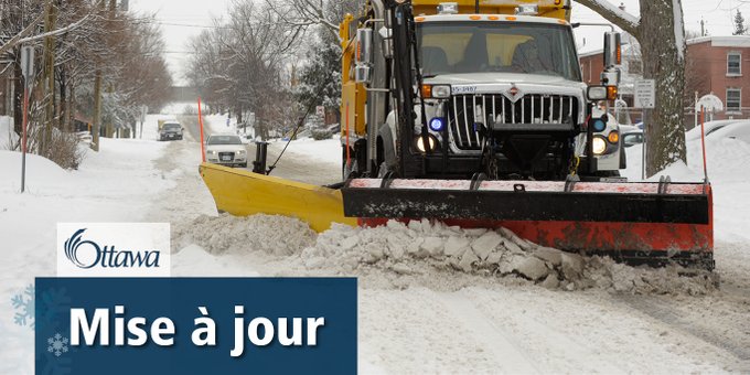
The Roads and Parking Services team continues to operate 24/7. Supervisors are monitoring the conditions of the transportation network, and our focus is clearing and treating sidewalks, priority roads, bus routes, the Transitway and the winter cycling network as required. As we move through the day and look ahead to tomorrow, residential neighbourhoods will be monitored, and snow and ice conditions will be treated as needed.

